In a world where boundaries are constantly being redrawn, both in our minds and on our maps, understanding the interplay between geographic fiction and political reality has never been more crucial. From the sprawling digital landscapes of online maps to the tangible, contested territories we read about in the news, the ways in which we perceive and represent the world around us shape our understanding of politics, culture, and identity. This intricate dance between what is real and what is imagined forms the foundation of our global society, influencing decisions that impact millions. 🌍
As we embark on this exploration of geographic fiction and political reality, we find ourselves at the intersection of art and science, where cartographers craft their maps with as much creativity as precision. Consider how a simple line on a map can incite a conflict, redraw alliances, or even change a nation’s fate. Maps have always been more than mere reflections of the world; they are tools of power, used to assert dominance, influence policy, and sway public opinion. Yet, they also offer us windows into other worlds, capturing our imagination and inviting us to dream of distant lands. In this complex landscape, how do we discern fact from fiction? And how do these representations shape the geopolitical climate of our time? 🤔
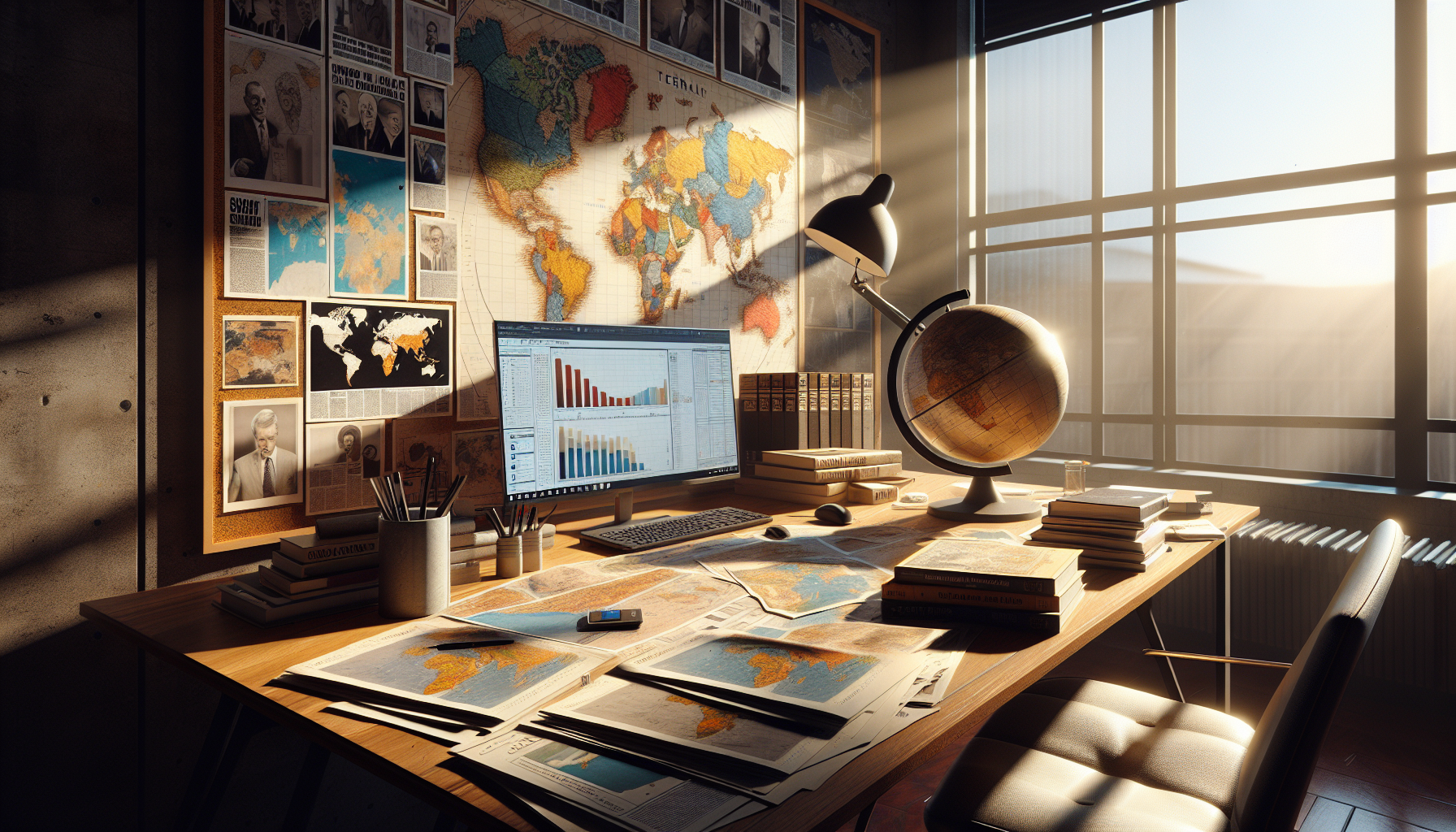
Throughout this article, we will delve into the historical context of mapmaking, examining how maps have been used as instruments of empire and exploration. We will analyze contemporary case studies that highlight the tension between political agendas and geographic realities, from disputed borders in Eastern Europe to the contentious waters of the South China Sea. Additionally, we will explore the rise of digital mapping technologies, which democratize information but also introduce new challenges in accuracy and manipulation. These modern tools can blur the lines between reality and representation, making it ever more important to critically assess the sources and motivations behind the maps we encounter daily. 🗺️
Finally, we will discuss the role of maps in shaping national and cultural identities, considering how they influence our perceptions of self and other. In an era where nationalism and globalism vie for dominance, understanding these dynamics is essential for fostering dialogue and cooperation. By the end of this journey, readers will gain a deeper appreciation for the power of maps and the importance of navigating the delicate balance between geographic fiction and political reality. Join us as we chart a course through this fascinating and ever-evolving terrain, uncovering the stories behind the lines that define our world. 🚀
The Intersection of Geography and Politics: An Intricate Relationship
The world as we know it is a vast and complex network of countries, cultures, and landscapes, all intertwined in a delicate balance of geographic and political realities. Geography often defines the boundaries of nations, influences their economies, and shapes the lives of their citizens. Conversely, politics can alter geographic realities, sometimes redrawing borders or reimagining regional dynamics. Understanding this intricate relationship requires a deep dive into both geography and politics, examining how they interact and influence each other in today’s global context.
At its core, geography is the study of places and the relationships between people and their environments. It encompasses physical landscapes, such as mountains and rivers, and human phenomena, including cities, borders, and infrastructure. Political geography, a subfield of geography, focuses on the spatial expression of political processes and how these processes influence geographic entities. This dual focus allows us to explore how geographic features impact political decisions and vice versa.
Politics, on the other hand, is the practice and theory of influencing people, gaining power, and governing a region. It involves the formulation and implementation of policies, laws, and strategies that shape the social, economic, and cultural aspects of a society. When politics intersects with geography, the results can be significant, affecting everything from international relations to environmental policies. This intersection creates a dynamic landscape where geographic fiction and political reality constantly interact, often leading to conflicts, alliances, and negotiations.
The Role of Geographic Fiction in Shaping Political Reality
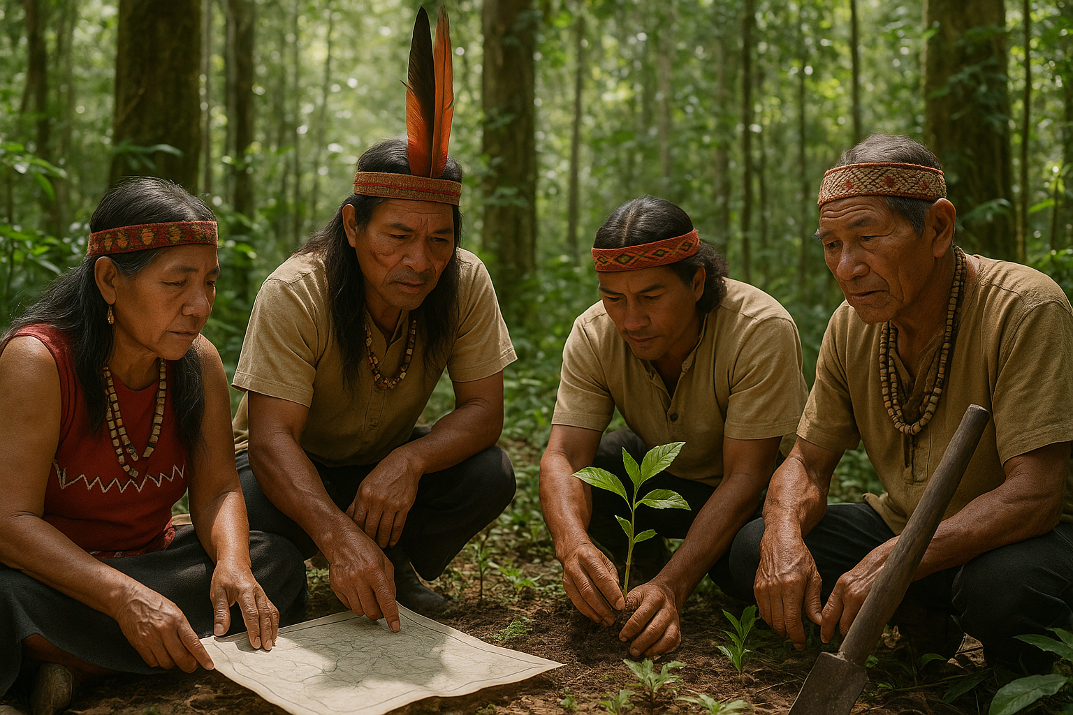
Geographic fiction refers to the perception or representation of geographic features that may not align with physical reality. It includes political maps, fictional narratives, and cultural myths that shape how people perceive and interact with their environment. These fictional elements can play a significant role in shaping political reality, influencing everything from national identity to foreign policy.
Maps, for example, are powerful tools of geographic fiction. They often reflect the political intentions of their creators, highlighting certain areas or minimizing others. Political boundaries on maps can create perceptions of unity or division, impacting how people view their nation and its place in the world. For instance, the Mercator projection, a common map used in education, distorts the size of countries, making some appear larger and more dominant than others. This distortion can influence geopolitical perceptions, affecting diplomatic relations and national strategies.
Moreover, fictional narratives and cultural myths play a crucial role in shaping political reality. Stories about a nation’s founding, legendary heroes, and historical conflicts can instill a sense of national identity and pride. These narratives often serve political purposes, reinforcing power structures and legitimizing political decisions. For example, the concept of “Manifest Destiny” in the United States, a belief that the nation was destined to expand across the continent, fueled territorial expansion and shaped U.S. foreign policy.
Table: Examples of Geographic Fiction Influencing Political Reality
| Type of Geographic Fiction | Example | Impact on Political Reality |
|---|---|---|
| Map Projections | Mercator Projection | Alters perception of country sizes, influencing geopolitical views |
| Cultural Myths | Manifest Destiny | Justified territorial expansion in the United States |
| Historical Narratives | Founding Myths | Strengthen national identity and political legitimacy |
To explore this concept further, watch this insightful video about the power of maps in shaping our world view. Watch on YouTube 📺.
Political Reality: Navigating the Complexities of Global Governance
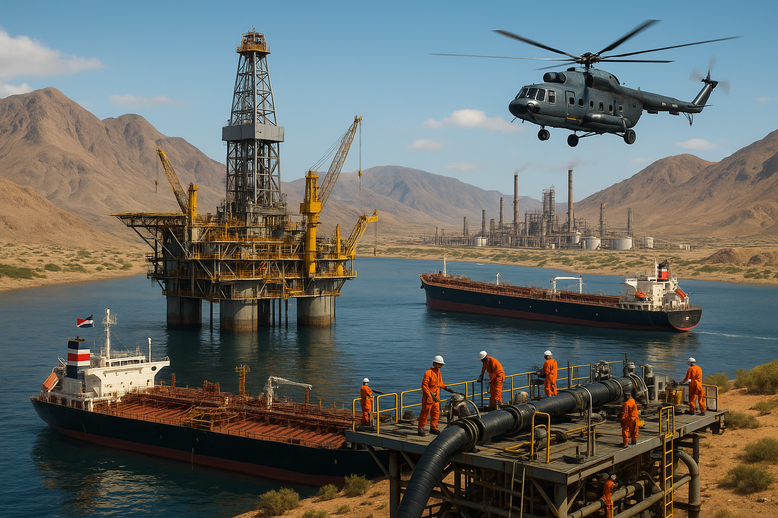
In contrast to geographic fiction, political reality represents the actual practices, policies, and power dynamics that govern societies. It involves navigating a complex web of relationships, negotiations, and conflicts on both a national and international level. Political reality is shaped by various factors, including economic interests, cultural values, and historical contexts.
One of the key aspects of political reality is the concept of sovereignty, which refers to the authority of a state to govern itself without external interference. Sovereignty is a fundamental principle of international relations, guiding the interactions between countries. However, it is often challenged by global issues that transcend national borders, such as climate change, terrorism, and economic crises. These challenges require international cooperation and governance structures that can effectively address them.
Global governance, therefore, involves the collaboration of multiple actors, including nation-states, international organizations, non-governmental organizations (NGOs), and multinational corporations. These actors work together to develop policies, set standards, and resolve conflicts on a global scale. Institutions like the United Nations, the World Trade Organization, and the International Monetary Fund play crucial roles in facilitating this cooperation and maintaining political stability.
Table: Key Actors in Global Governance
| Actor | Role | Examples |
|---|---|---|
| Nation-States | Primary actors in international relations, exercising sovereignty | United States, China, Russia |
| International Organizations | Facilitate cooperation and set global standards | United Nations, World Health Organization |
| Non-Governmental Organizations (NGOs) | Advocate for social, environmental, and humanitarian causes | Greenpeace, Amnesty International |
As you continue to explore this topic, consider how these actors interact and influence political reality on a global scale. Understanding these dynamics is essential for navigating the complexities of modern geopolitics.
The Impact of Technological Advancements on Geographic and Political Realities
In recent decades, technological advancements have significantly impacted both geographic and political realities. Technology has transformed how we perceive and interact with the world, creating new opportunities and challenges for governments, businesses, and individuals.
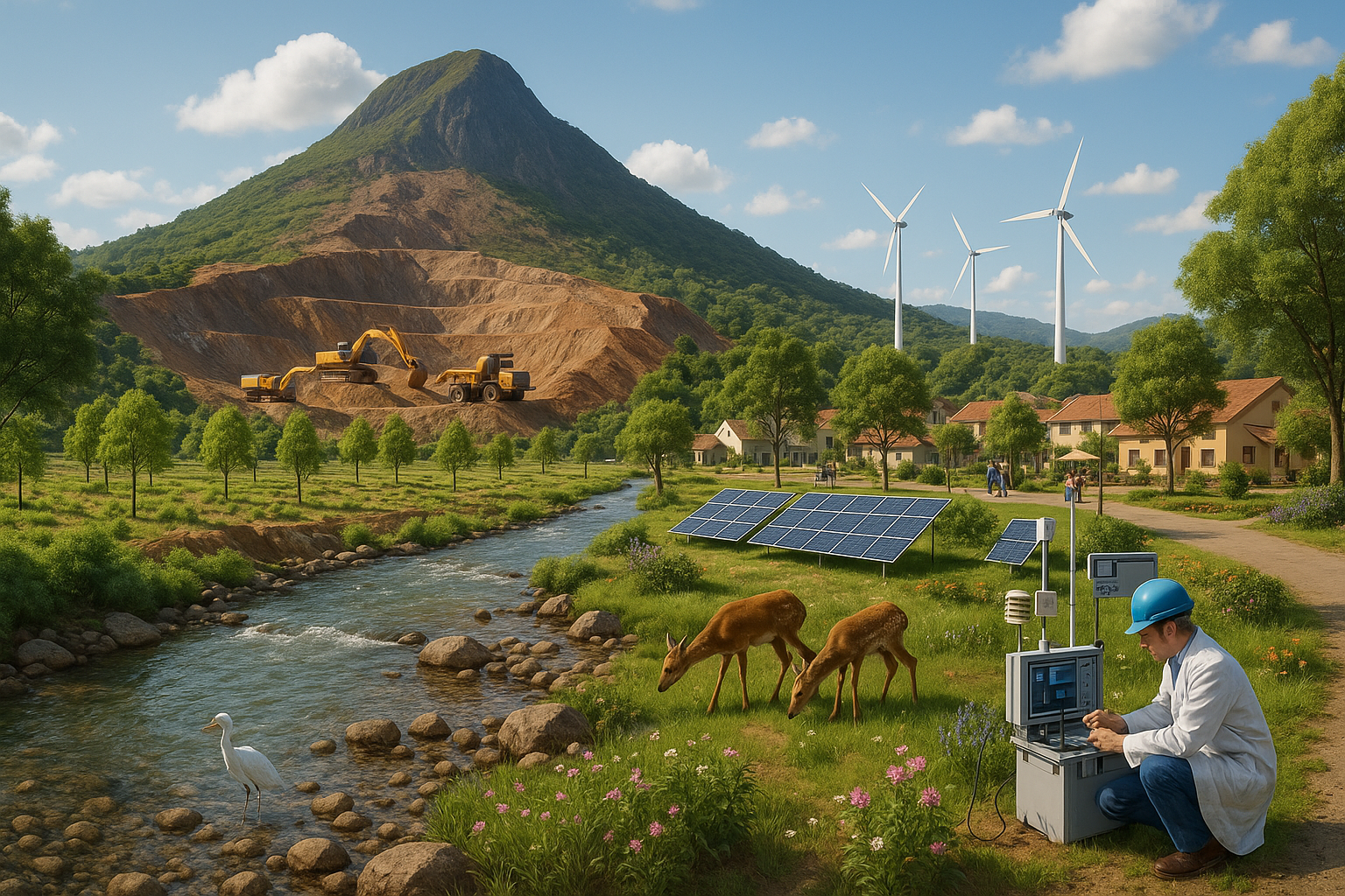
One of the most significant technological developments is the rise of digital mapping and geographic information systems (GIS). These tools allow for the precise analysis and visualization of geographic data, enhancing our understanding of spatial patterns and relationships. Digital maps and GIS are used in various fields, from urban planning and disaster management to environmental conservation and transportation logistics. They enable more informed decision-making and efficient resource allocation, improving the quality of life for people worldwide.
Technology has also revolutionized communication and information dissemination, influencing political realities. The internet and social media platforms have democratized access to information, allowing individuals to engage with political issues and participate in public discourse. However, this increased access also presents challenges, such as the spread of misinformation and the manipulation of public opinion. Governments and organizations must navigate these challenges, balancing freedom of expression with the need for accurate information and security.
- Digital Mapping: Enhances understanding of spatial patterns and aids in decision-making.
- Social Media: Democratizes access to information but poses challenges with misinformation.
- Data Analytics: Provides insights into political trends and public sentiment.
To delve deeper into the influence of technology on geographic and political realities, watch this comprehensive analysis on YouTube. Watch on YouTube 📺.
Conclusion
While this article provides a glimpse into the complex interplay between geography, politics, and technology, the full picture is ever-evolving. As the world continues to change, so too will the geographic and political realities that shape our lives. Stay informed and engaged as we navigate this dynamic landscape together.
Conclusion
Certainly! Here’s the conclusion for your article:
—
In conclusion, the exploration of geographic fiction and political reality in today’s world, as discussed in “Mapping the Divide,” underscores the intricate interplay between the imagined and the tangible landscapes we navigate. This article has delved into several key areas: the historical roots of geographic fiction, its impact on shaping political ideologies, and the ways in which these narratives influence current geopolitical strategies. By examining these dimensions, we have gained a deeper understanding of how fictional and real geographies can both divide and unite societies.
One of the main points highlighted is the historical perspective, where geographic fiction has been used as a tool for political propaganda, crafting narratives that support or challenge prevailing power structures. This is not merely a relic of the past; today, similar strategies are employed in digital and media landscapes to sway public opinion and influence political outcomes. Understanding this allows us to be more critical of the narratives we consume and the maps we trust.
The article also explored the role of technology in transforming geographic fiction. With advancements in digital mapping and virtual reality, the lines between fiction and reality are increasingly blurred. These technologies offer new possibilities for storytelling and education, yet they also pose challenges in terms of authenticity and misinformation. It’s crucial for readers to approach these tools with a critical eye, recognizing both their potential and their pitfalls.
Moreover, the impact of geographic fiction on identity formation and cultural perception was a key topic. Fictional geographies often contribute to stereotypes and cultural misunderstandings, but they also have the power to foster empathy and cross-cultural connections. By acknowledging and engaging with diverse geographic narratives, we can promote a more inclusive and informed global community.
The importance of this theme is ever-growing in our interconnected world. As global citizens, we are constantly influenced by narratives that shape our understanding of place and politics. By being aware of the fictional elements within these narratives, we empower ourselves to challenge assumptions and contribute to more nuanced and authentic dialogues.
In light of these insights, I encourage you, the reader, to reflect on the geographic stories that shape your world. Consider how these narratives influence your perceptions and actions, and how you might engage with them more critically and creatively. Sharing this article with others can spark important conversations and broaden perspectives, so feel free to comment below with your thoughts or share it within your networks.
To further explore the topics discussed, you can find additional resources and perspectives through active and reputable sources such as [National Geographic](https://www.nationalgeographic.com) and [The Guardian’s Geography section](https://www.theguardian.com/science/geography). These platforms offer a wealth of information on geographic issues, both real and imagined, that continue to shape our world today.
In conclusion, the journey through geographic fiction and political reality is an invitation to see the world anew, to question the maps we have inherited, and to imagine the possibilities of a future mapped by understanding and collaboration. Let us navigate this divide with curiosity and courage, knowing that the stories we tell can illuminate paths toward a more connected and compassionate world. 🌍✨
—

Toni Santos is a visual storyteller and artisan whose creations celebrate the poetry of the natural world. Through his thoughtful artistic lens, Toni captures the elegance of botanical forms, transforming them into meaningful expressions of symbolism, resilience, and timeless beauty.
His journey is deeply rooted in a passion for flora and the mysteries they carry. From the shape of a petal to the curve of a vine, each design Toni brings to life reflects a deeper narrative — one of growth, transformation, and harmony with nature. Whether crafting symbolic floral jewelry, enchanted botanical illustrations, or seasonal visual studies, Toni’s work evokes the quiet magic found in Earth’s most delicate details.
With a background in handcrafted artistry and visual design, Toni blends technique with intention. His creations do more than decorate — they speak, often inspired by ancient meanings behind flowers, the cycles of the seasons, and the invisible bonds between nature and spirit.
As the creative voice behind Vizovex, Toni shares this botanical journey with the world, offering curated stories, handcrafted collections, and thoughtful articles that help others reconnect with nature’s symbolism and artistic essence.
His work is a tribute to:
The quiet power of flowers and their messages
The art of visual symbolism in everyday life
The beauty of slowing down to see what’s hidden in plain sight
Whether you’re an artist, a nature lover, or someone drawn to the deeper meanings behind the natural world, Toni welcomes you to explore a space where aesthetics meet soul — one petal, one story, one creation at a time.